
The fastest route in a mapping app often saves time by putting a rider on bigger roads, requiring more complicated crossings, or treating a painted bike lane as equal to a calm side street. For everyday riding, a safer route is usually the one that reduces exposure to fast traffic and cuts down on the number of places where drivers and cyclists have to make split-second decisions. NHTSA puts the basic rule plainly: when riding on the road, choose routes with less traffic and slower speeds, and remember that the safest option may be a bike lane, bike path, or route away from traffic altogether. (nhtsa.gov)
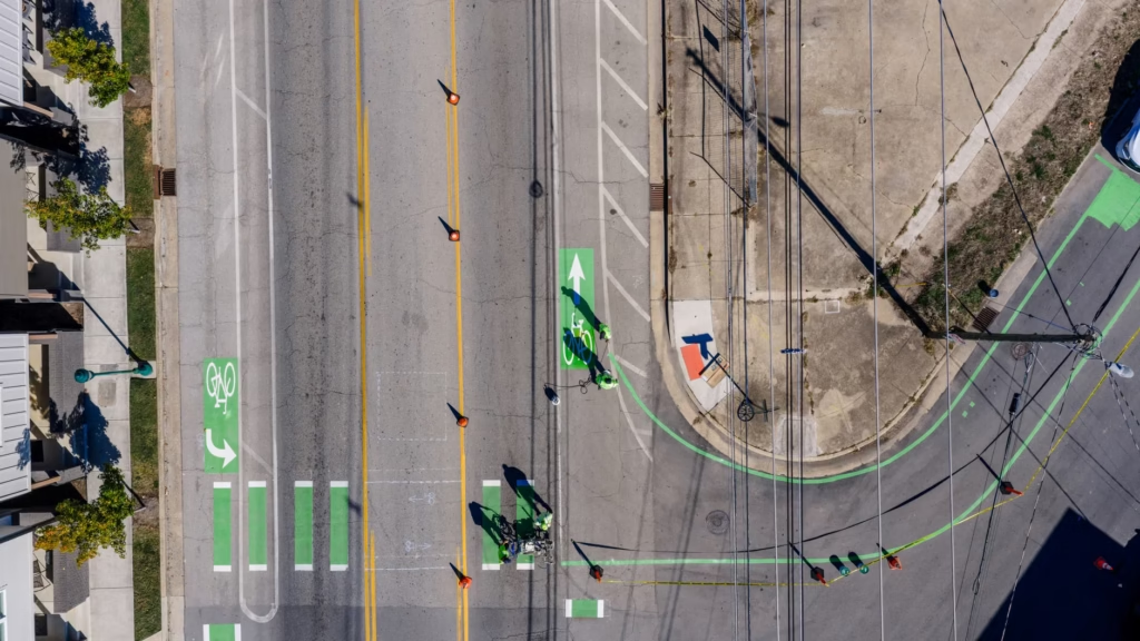
Use a two-pass check before you trust the app
A practical way to choose a safer route is to evaluate it twice: once on the map, then once from the saddle. NHTSA’s Bikeability Checklist is useful because it focuses on the things that actually make a ride feel manageable or risky: whether there is space to ride, how the surface feels, whether intersections are hard to cross, how drivers behave, and whether the route is easy to follow. It also recommends noting specific problem locations instead of judging the whole trip as one blur. (nhtsa.gov)
- Start with the fastest route, but mark the stressful segments before riding it. Watch for heavy or fast traffic, bridges or tunnels with no clear riding space, abrupt path endings, crossings with poor visibility, and intersections that seem hard to read. (nhtsa.gov)
- Build an alternative from the safest continuous pieces, not the fewest turns. A slightly longer route that strings together a protected lane, two side streets, and one good crossing is often better than a shorter route with one intimidating arterial segment. (nhtsa.gov)
- Test the route in daylight at an easy pace. Note the exact places where drivers passed too close, the signal did not seem to detect a bike, or cross traffic was hard to see. (nhtsa.gov)
- Repeat the ride at the time you will actually use it. Morning school traffic, evening deliveries, or weekend trail crowding can change whether a route feels calm or chaotic. This practical step follows the checklist’s emphasis on real-world conditions and specific trouble spots. (nhtsa.gov)
- Keep the detour if it meaningfully reduces stress or complex interactions. Saving a couple of minutes rarely makes up for a daily route that demands constant high-alert riding. This practical advice follows the same lower-traffic, lower-speed logic NHTSA recommends. (nhtsa.gov)
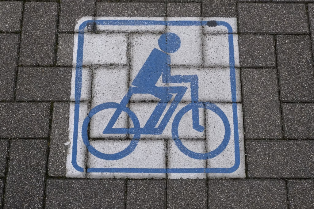
A simple hypothetical shows the tradeoff. One route might take 12 minutes on a direct arterial with fast overtaking traffic and two busy, turn-heavy intersections. Another might take 15 minutes by using side streets, a short protected bike lane, and one signalized crossing. For many riders, especially commuters who repeat the trip several times a week, the second route may be the better choice because it lowers speed differences and reduces the number of moments where a driver can turn, merge, or back across the bike’s line. (fhwa.dot.gov)
The safest route changes with the rider, the bike, and the day
There is an important nuance here: safer does not mean identical for everyone. An experienced rider on an unloaded bike at 6 a.m. may be comfortable on a road that feels unacceptable after dark, in rain, with a child seat, with panniers, or on an e-bike that changes traffic interactions. Sidewalk riding is not a universal backup plan either. NHTSA advises riders to minimize sidewalk riding and notes that drivers may not expect fast-moving traffic on the sidewalk when turning or backing from driveways. It also says riders should check local law because sidewalk rules vary. (nhtsa.gov)
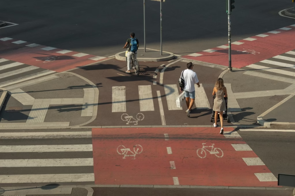
Warning: If a route forces a blind crossing, a high-speed merge, or repeated conflicts with turning traffic, that is a reasonable point to reroute, walk a short section, or check a local DOT bike map rather than pushing through on habit. Route choice cannot remove all risk, but it can reduce some avoidable exposure. (nhtsa.gov)
The best everyday cycling route is often the one that asks less from the rider minute by minute. If a route offers better sight lines, calmer traffic, cleaner surfaces, and simpler crossings, a few extra minutes may be a smart exchange, not a loss. Start by reducing conflict, then fine-tune for convenience. That usually leads to a route that is easier to repeat and easier to trust. (nhtsa.gov)
References
- NHTSA: Bicycle Safety – https://www.nhtsa.gov/road-safety/bicycle-safety
- NHTSA: Bikeability Checklist – https://www.nhtsa.gov/document/bikeability-checklist
- CDC: Bicycle Safety – https://www.cdc.gov/pedestrian-bike-safety/about/bicycle-safety.html
- FHWA: Bikeway Selection Guide – https://highways.dot.gov/safety/pedestrian-bicyclist/bikeway-selection-guide