
Adding more bike lanes can help, but lane count alone is a poor test of whether a city actually works for everyday riding. A truly bike-friendly city lets ordinary people make ordinary trips without needing unusual confidence, perfect weather, or detailed local knowledge. The real question is not how many miles of paint or protection appear on a map. It is whether a child going to school, an older adult going to a pharmacy, a commuter linking to transit, or a neighbor heading to the grocery store can do the full trip safely and comfortably. That broader standard matches current federal and professional guidance, which emphasizes connected, comfortable networks for people of all ages and abilities rather than isolated facilities. (fhwaapps.fhwa.dot.gov)
Lane mileage is a weak proxy for real bike-friendliness
A city can add miles of bike lanes and still remain hostile to daily cycling if those lanes are disconnected, disappear at the hardest points, or force riders onto fast roads between short protected segments. NACTO’s network planning guidance treats connectivity as a core issue because even a small gap can prevent comfortable use of an otherwise acceptable route. FHWA and CDC assessment tools similarly focus on connected networks, street connectivity, and multimodal access rather than a simple count of facilities. (nacto.org)
That is why some cities look better on paper than they feel on the ground. A map may show a respectable number of lanes, but the lived experience can still include stressful merges near bridges, confusing intersections, loading zones blocking access, or missing links to schools, parks, stores, and transit. The established guidance is consistent on this point: a bike network should connect everyday destinations and work as part of the larger transportation system. (nacto.org)
Use the Trip Chain Test instead of the lane-count test
A practical way to judge any city is the Trip Chain Test: can a person begin the ride, stay on a low-stress route, cross intersections safely, reach the destination, park securely, and still have a usable option when weather, darkness, or a flat tire changes the plan? If any link in that chain fails, the city may have bike facilities without being reliably bike-friendly. This is an editorial framework, but it reflects how current guidance treats bicycling as a connected, door-to-destination system rather than a collection of corridor projects. (nacto.org)
- Start: Can people leave home, school, or a transit stop without immediately mixing with high-speed traffic? (fhwaapps.fhwa.dot.gov)
- Continuity: Does the route remain low-stress, or does it break at the exact places that require the most protection? (nacto.org)
- Crossings: Are intersections designed to manage turning conflicts, signal timing, visibility, and priority clearly? (highways.dot.gov)
- Arrival: Is there obvious, secure, convenient parking close to the front door or station entrance? (highways.dot.gov)
- Reliability: Will the facility still work after snow, debris buildup, drainage problems, or damaged posts, and can the rider connect to transit if needed? (highways.fhwa.dot.gov)
| Element | What a strong city looks like | Common warning sign | Why it changes behavior |
|---|---|---|---|
| Network continuity | A rider can reach daily destinations without abrupt gaps or forced high-stress mixing. | Protected segments end before bridges, ramps, or commercial corridors. | Connectivity is a foundational network quality, not a bonus feature. (nacto.org) |
| Street context | Quiet local streets use traffic calming and priority, while faster roads use stronger separation. | The same paint-only treatment appears on streets with very different speeds and volumes. | Different contexts need different tools; faster, busier roads generally need more separation. (cdc.gov) |
| Intersections | Turning movements are predictable, crossings are visible, and conflict points are managed. | The bike lane vanishes where turning traffic is heaviest. | Intersection design often determines whether a route feels trustworthy. (highways.dot.gov) |
| End-of-trip access | Bike parking is close, visible, and easy to use at shops, schools, offices, and stations. | The route reaches the block, but not the actual entrance or a secure place to leave a bike. | Trips fail when arrival is inconvenient or theft feels likely. (highways.dot.gov) |
| Maintenance | Sweeping, snow clearance, drainage, and barrier repairs happen on a schedule. | Leaves, glass, puddles, or downed posts linger for weeks. | A facility that is technically present but routinely blocked is not dependable transportation. (highways.fhwa.dot.gov) |
| System support | Biking links cleanly to transit, land use, and project prioritization. | Bike projects are treated as stand-alone amenities. | Bike-friendliness lasts when agencies plan, fund, and measure it as part of the whole system. (highways.dot.gov) |
Consider a simple hypothetical example. Route A is shorter and technically has bike lanes for most of the way, but it includes one fast arterial crossing and one intersection where the lane drops before a right-turn pocket. Route B is half a mile longer, uses calmer neighborhood streets, and reaches the destination through a protected crossing with good parking at the end. Many riders, especially less confident ones, will choose Route B every time. That is why cities should care less about sheer mileage and more about low-stress trip coverage.
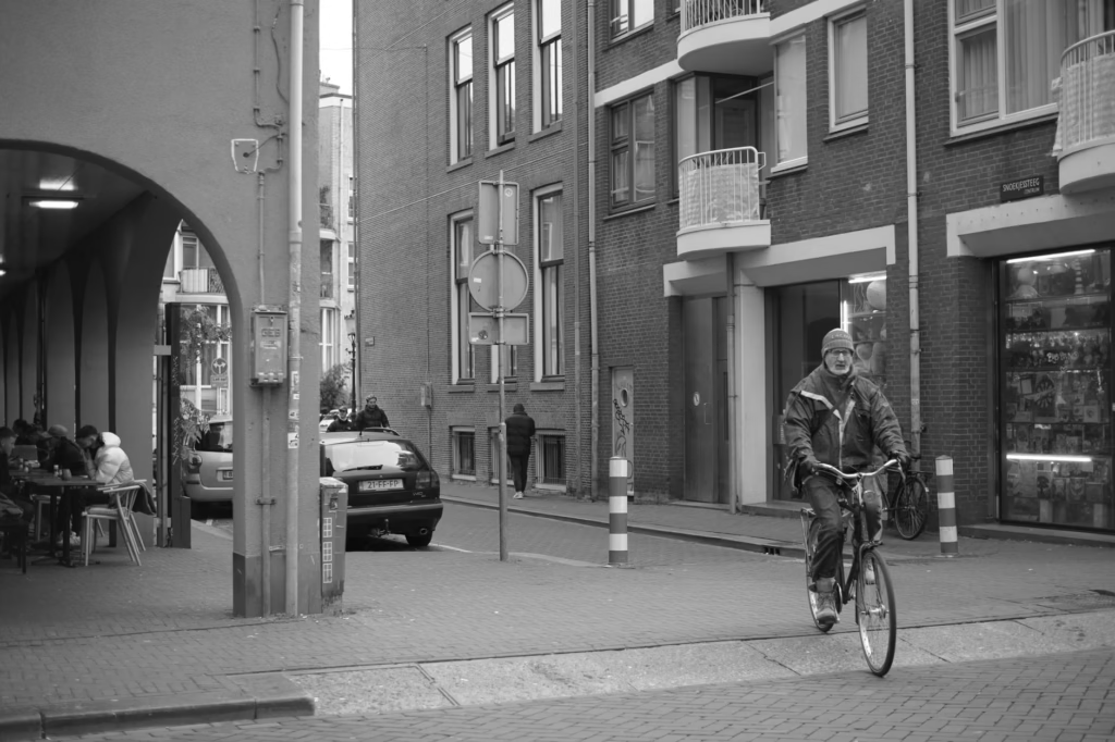
Not every street needs a marked bike lane. On genuinely low-speed, low-volume streets, traffic calming, filtered permeability, and clear priority can be more valuable than squeezing in paint. On faster, higher-volume roads, stronger separation becomes far more important. (cdc.gov)
Intersections decide whether the route feels safe
Midblock protection is only half the story. FHWA’s separated bike lane guide devotes substantial attention to turning movements, signalization, markings, lateral shifts, and other intersection treatments because that is where route continuity and conflict management become visible. The FHWA intersection guide also frames bikeway choice and separation in relation to speed, volume, context, and tradeoffs, not just the presence of a lane stripe. (highways.dot.gov)
For an everyday rider, the practical signals are easy to spot. Good intersections reduce ambiguity. Drivers can see where people on bikes will be. Turning paths are slowed and clarified. Bike crossings do not disappear into a free-for-all at the corner. Signal timing and markings support predictable movements instead of last-second negotiation. When those details are missing, even a good corridor can feel unreliable.
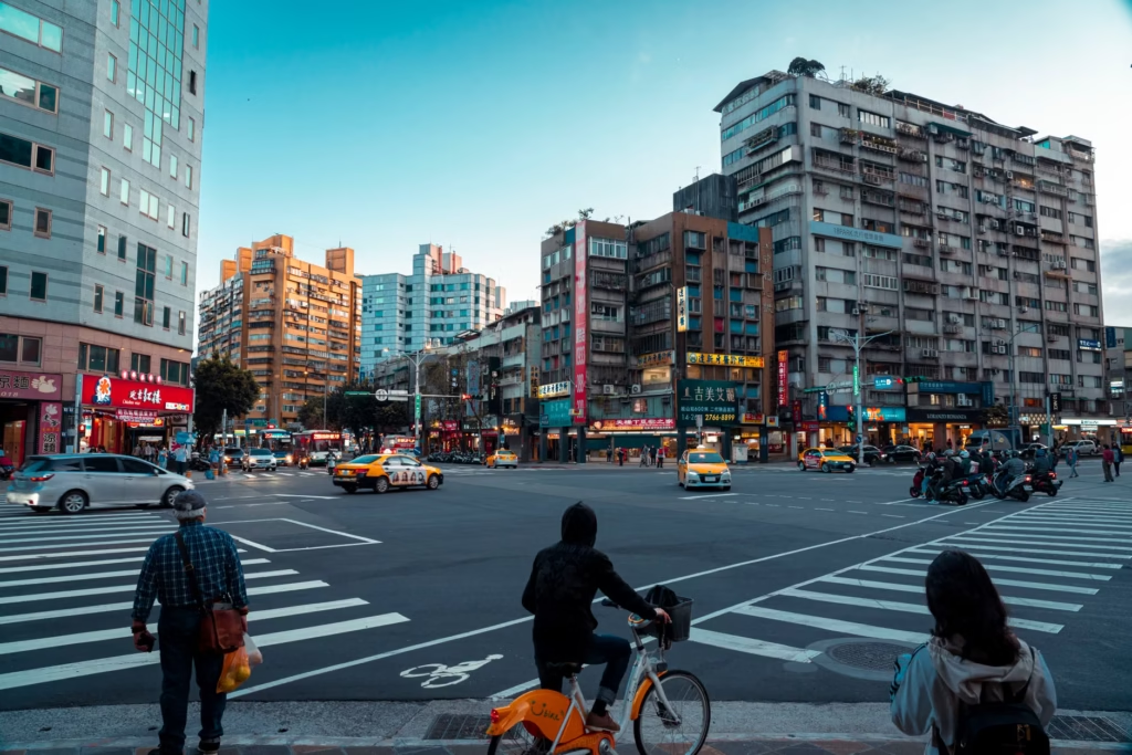
One common failure pattern is building a protected segment and then dropping the protection right before the intersection to create more turning space for cars. That often removes safety and comfort at exactly the point of highest conflict. (highways.dot.gov)
Speed management is part of bike infrastructure, not a separate issue
A city cannot become truly bike-friendly if motor traffic remains too fast for the surrounding context. USDOT’s Safe System Approach explicitly treats safer speeds as a core safety strategy achieved through roadway design, speed-limit setting, education, and enforcement. In practice, that means bike-friendliness is shaped not only by what sits at the curb, but by the operating speed of the whole street. A painted lane beside fast traffic may satisfy a checklist while still failing the comfort test for most people. (transportation.gov)
Destinations, parking, and transit links determine whether the network is actually useful
Bike-friendliness is also a land-use question. EPA smart growth guidance notes that when homes, offices, stores, and civic buildings are near transit stations and close to each other, it becomes more convenient to walk, bike, or take transit. In other words, a city of distant, single-use destinations can install respectable lanes and still produce awkward, tiring, or time-consuming trips. Convenient cycling depends partly on whether useful places are close enough, direct enough, and distributed sensibly across neighborhoods. (epa.gov)
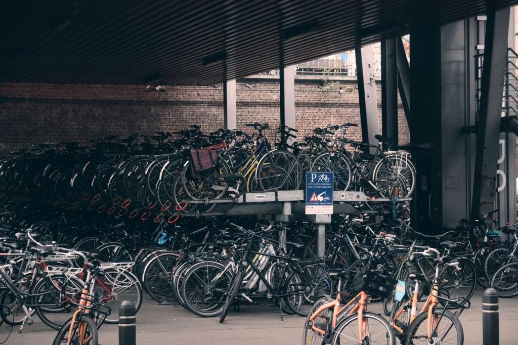
Arrival matters too. FHWA’s bicycle-transit integration resources emphasize bike parking near facilities, onboarding procedures, parking security, maintenance, fees, and other details that influence whether bike-and-transit trips work in real life. NACTO’s network guidance also points to needs outside the bikeway itself, such as easy-to-find bike parking and transitions between off-street and on-street routes. A city that ignores secure parking, station access, and the final fifty feet to the entrance is treating cycling as recreation, not transportation. (highways.dot.gov)
Maintenance is what turns a facility from symbolic to dependable
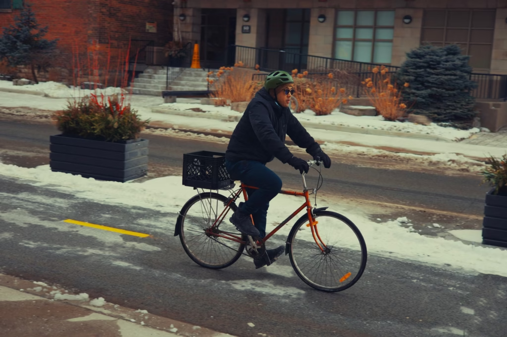
The FHWA maintenance guide makes the point plainly: active transportation facilities need inspection, preservation, repair, and restoration to remain safe, convenient, and accessible. Neglected facilities can discourage use, create conflicts with pedestrians, or push riders into the roadway. The same guide discusses how snow storage can block bike lanes, how poor drainage can create puddles or ice at intersections, and how debris can make a nominally available route functionally unusable. (highways.fhwa.dot.gov)
This is one of the easiest ways to tell whether a city is serious. Are bike facilities swept on a schedule? Do agencies inspect them routinely? Are damaged separators replaced quickly? Does winter maintenance treat transportation routes as year-round public right-of-way rather than optional amenities? CDC’s current assessment modules ask exactly those questions, including whether on-street bicycle infrastructure is maintained through scheduled processes, routine inspections, and prioritized clearing of snow, debris, and damaged protection. (cdc.gov)
A city is not truly bike-friendly if only confident adults feel comfortable
The strongest benchmark is whether the system works for more than the most experienced riders. FHWA repeatedly frames good walking and bicycling networks around safety, convenience, and access for people of all ages and abilities. That standard changes the conversation. It shifts attention away from what a fast, assertive commuter can tolerate and toward what a broader public can reasonably use. (fhwaapps.fhwa.dot.gov)
Equity matters for the same reason. FHWA guidance on pursuing equity in pedestrian and bicycle planning argues that improving safe and convenient nonmotorized travel for traditionally underserved communities is essential to a sustainable and equitable transportation system. In practice, that means a city should not build its most complete network only where cycling is already politically visible. Project ranking, funding, staffing, and maintenance plans should embed connectivity, accessibility, equity, and safety. CDC’s assessment modules ask whether communities have bicycle funding, dedicated staff, advisory groups, and maintenance programs; FHWA PlanWorks similarly recommends using bicycle and pedestrian metrics to compare and prioritize projects and accounting for maintenance lifecycle costs. (highways.dot.gov)
How to evaluate a city in one afternoon
- Pick one ordinary trip, such as home to school, home to a grocery store, or a neighborhood ride to the nearest transit stop.
- Trace the most direct route and then the route a cautious rider would actually choose. The gap between those two routes is revealing.
- Inspect every intersection, not just the midblock segments. Note where protection disappears, where turning traffic dominates, and where visibility is poor.
- Look at the last block and the destination itself. Check for convenient parking, obvious entrances, curb conflicts, and whether the rider is dumped into a loading zone or crowded sidewalk.
- Check maintenance signals: debris, drainage, snow piles, faded markings, damaged posts, or signs of recent inspection and repair.
- Ask the all-ages question: would a reasonably independent 12-year-old or a slower older adult likely feel comfortable here? If not, the city may have infrastructure without broad usability.
For a more formal civic audit, CDC’s Active Communities Tool is designed for city-level assessment and breaks the built environment into modules such as street design and connectivity, bicycle infrastructure, public transportation, and land-use planning. That structure is useful because it mirrors the broader point of this article: bike-friendliness is a system property, not a striping quantity. (cdc.gov)
What cities often get wrong when they chase quick wins
- They count lane miles instead of low-stress trips completed from door to destination.
- They use the same bike treatment on streets with very different traffic speeds and volumes, even though context matters. (highways.fhwa.dot.gov)
- They improve corridors but ignore intersections, transit stations, bridges, and commercial access points. (highways.dot.gov)
- They build new facilities without committing to sweeping, drainage, snow removal, inspection, and barrier replacement. (highways.fhwa.dot.gov)
- They treat equity as an afterthought instead of embedding it in project selection, staffing, and maintenance. (highways.dot.gov)
The underlying mistake is confusing visible construction with functional mobility. A painted lane is easy to count, photograph, and announce. A complete low-stress network with good maintenance, calm speeds, secure parking, and equitable access is harder to deliver. But that harder work is what makes cycling normal instead of exceptional.
The clearest definition of a bike-friendly city is simple: it makes everyday riding feel ordinary. More bike lanes can be part of that, sometimes a very important part. But the cities that truly work for bicycling are the ones that connect the route, tame the speed, solve the intersection, maintain the facility, support the destination, and extend those benefits to more than a small, confident minority. If a city wants meaningful progress, that is the standard worth measuring against.
Frequently Asked Questions
Do protected bike lanes matter more than every other investment?
Not always. On genuinely low-speed, low-volume local streets, traffic calming and route continuity may matter as much as a marked lane. But on faster, busier roads, FHWA guidance increasingly favors separated bikeways because comfort and safety needs change with speed and volume. (cdc.gov)
Can off-street trails make a city bike-friendly by themselves?
They can be valuable, especially for crossing barriers or offering pleasant longer routes, but they are not enough on their own if they do not connect to daily destinations and on-street links. A useful network has to reach schools, stores, parks, jobs, and transit, then stay connected through the gaps. (nacto.org)
What about hills, heat, snow, or rain?
Terrain and weather matter, but they do not automatically prevent bike-friendliness. Good maintenance, year-round clearance on transportation routes, useful transit integration, and compact destination patterns can make cycling practical even in less forgiving conditions. (highways.fhwa.dot.gov)
Is bike parking really that important?
Yes. A trip is not successful if the rider arrives and has nowhere secure or convenient to leave the bike. FHWA’s bike-and-transit guidance and NACTO’s network planning both treat parking and end-of-trip access as part of the system, not an afterthought. (highways.dot.gov)
How can residents tell whether their city is improving in the right way?
Look for fewer network gaps, better intersection treatments, lower street speeds, faster maintenance response, more secure parking, and project selection that explicitly uses connectivity, accessibility, equity, and safety metrics. Formal signs include dedicated bicycle staff, advisory groups, and scheduled maintenance programs. (fhwaapps.fhwa.dot.gov)
References
- U.S. Department of Transportation – What Is a Safe System Approach? – https://www.transportation.gov/safe-system-approach
- Federal Highway Administration – Separated Bike Lane Planning and Design Guide – https://highways.dot.gov/safety/pedestrian-bicyclist/safety-tools/pg-102-121-separated-bike-lane-planning-and-design-guide
- Federal Highway Administration – Improving Intersections for Pedestrians and Bicyclists: Informational Guide – https://highways.dot.gov/sites/fhwa.dot.gov/files/2022-06/fhwasa22017.pdf
- Federal Highway Administration – Guide for Maintaining Active Transportation Infrastructure for Enhanced Safety – https://highways.dot.gov/sites/fhwa.dot.gov/files/2024-10/Guide_for_Maintaining_Active_Transportation_FHWA-SA-23-005.pdf
- Federal Highway Administration – Bicycles and Pedestrians (PlanWorks) – https://fhwaapps.fhwa.dot.gov/planworks/Applications/Show/bicycles-and-pedestrians
- Federal Highway Administration – Bicycle and Transit Integration: Getting Started – https://highways.dot.gov/safety/pedestrian-bicyclist/safety-tools/chapter-2-getting-started-bicycle-and-transit-integration
- Federal Highway Administration – Bicycle and Transit Integration: Bikes at Transit – https://highways.dot.gov/safety/pedestrian-bicyclist/safety-tools/chapter-3-bikes-transit-bicycle-and-transit-integration
- Federal Highway Administration – Pursuing Equity in Pedestrian and Bicycle Planning – https://highways.dot.gov/safety/pedestrian-bicyclist/safety-tools/pg-7-20-pursuing-equity-pedestrian-and-bicycle-planning
- U.S. Environmental Protection Agency – Smart Growth and Transportation – https://www.epa.gov/smartgrowth/smart-growth-and-transportation
- Centers for Disease Control and Prevention – The Active Communities Tool – https://www.cdc.gov/active-communities-tool/php/about/
- Centers for Disease Control and Prevention – The Active Communities Tool Assessment Modules – https://www.cdc.gov/active-communities-tool/media/pdfs/2025/05/19_302848_ACT-AssessmentModules_May-2025_508.pdf
- NACTO – Planning a Bike Network – https://nacto.org/publication/urban-bikeway-design-guide/planning-and-developing-a-bikeable-city/planning-a-bike-network/