
A city can install a beautiful bike lane on one avenue and still leave most people feeling that biking is impractical. The reason is simple: riders do not experience infrastructure one block at a time. They experience an entire trip. Leaving home, crossing the uncomfortable intersection, getting over the bridge, reaching the store, and coming back after dark all count. If any one of those links fails, the lane that worked for six blocks does not solve the larger problem. That is why bike networks matter more than individual bike lanes. Networks turn isolated facilities into transportation. Single lanes often remain fragments.
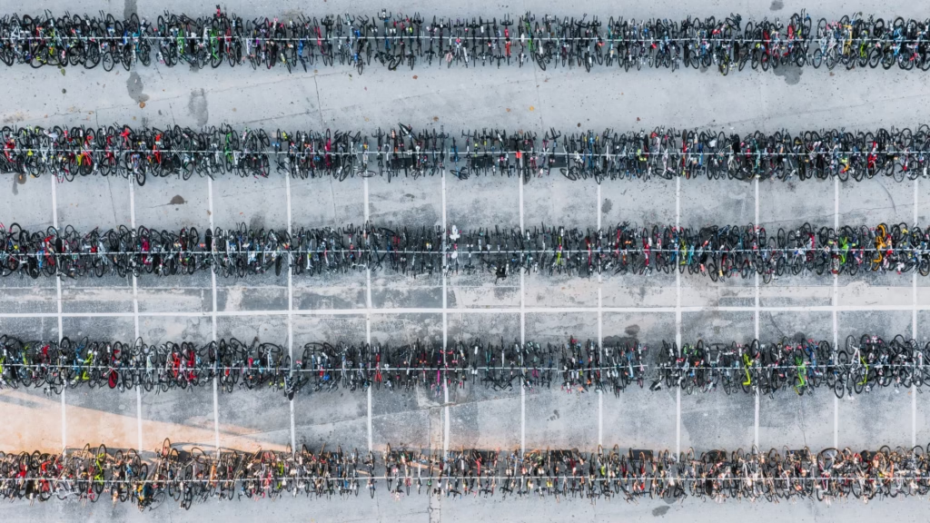
A bike route is only as useful as its weakest link
Individual lanes matter, but only for the segment they actually protect. The harder question is what happens before and after that segment. If a lane disappears at the busiest intersection, ends before a highway crossing, or forces a rider into fast turning traffic to reach a school or transit stop, the trip still feels risky. Transportation guidance from FHWA and NACTO treats bikeways as parts of a broader system for connecting neighborhoods, destinations, and barriers, not as stand-alone street decorations. That distinction is crucial. A rider can benefit from a good block, but a city only gets everyday bicycle transportation when the route works from door to destination.
Mileage is a weak shortcut. Ten disconnected miles can function worse than three miles that complete a real trip.
This is also why intersections matter so much. A protected lane in the middle of a corridor can feel excellent, but many conflicts happen where routes cross traffic, merge, or ask riders to make turns. A network approach pays attention to those transitions. It also pays attention to barriers that maps tend to flatten: railroad lines, rivers, freeway ramps, steep grades, and large parking lots can all break connectivity even when a city has plenty of painted lanes on paper.
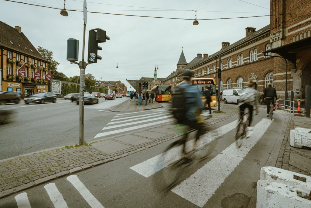
Networks change who can ride, not just where strong riders ride
The biggest difference between a scattered lane map and a real network is not visual. It is social. Connected networks make biking possible for a much wider range of people, including children, older adults, newer riders, and people making short everyday trips. CDC guidance on active transportation emphasizes infrastructure that makes it safe, easy, and appealing to bike to everyday destinations, including protected lanes, separated paths, and networks of low-speed, low-volume bicycle-safe streets. In other words, the goal is not just to give confident riders one better corridor. It is to reduce the number of stressful decisions built into the trip.
A simple hypothetical shows the difference. Imagine a parent riding with a middle-school student. A single protected lane on a commercial street helps for part of the journey, but the trip still fails if the first half-mile from home has no low-stress connection, or if the last turn into the school area requires mixing with heavy traffic. A network solves the whole sequence: calm neighborhood access, a comfortable main route, safe crossings, and a workable arrival. That is what people mean by infrastructure for all ages and abilities.
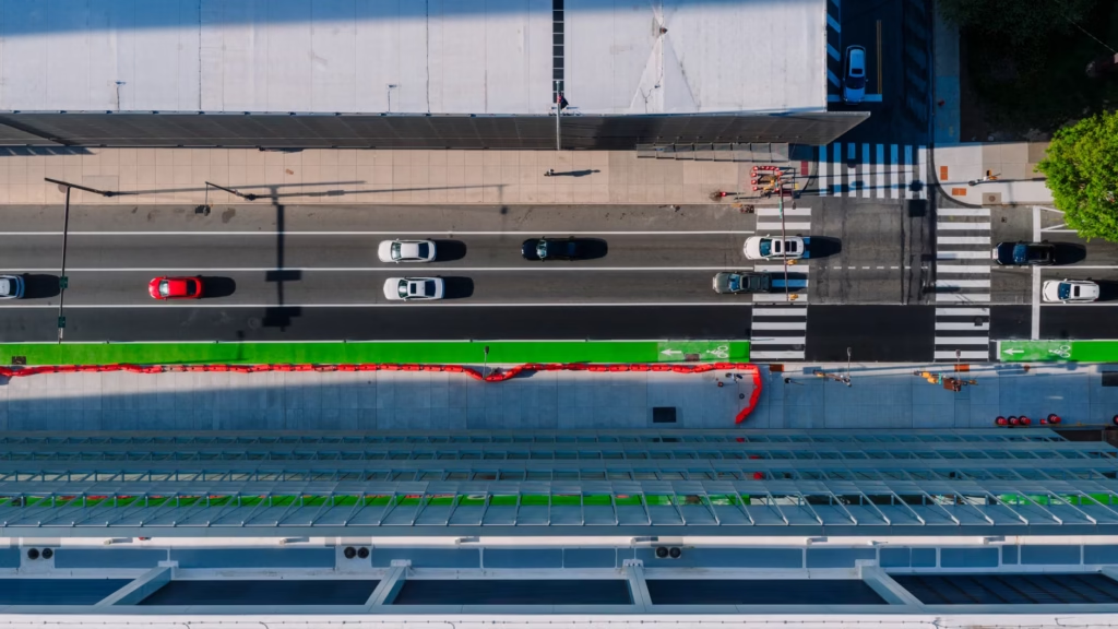
There is one important nuance here. Research interest in network connectivity has grown, but measuring its exact effects is still more complicated than many public debates assume. Recent review research notes that cities and researchers use different connectivity measures, and the evidence base is still developing. That does not weaken the case for networks. It means planners should be careful about declaring victory just because lane mileage increased.
Use a three-trip test to tell whether a city has a network or just a collection of lanes
The easiest way to judge a bike system is not to count projects. Pick a few ordinary destinations and examine the trip as a cautious rider would actually experience it.
- Choose three routine destinations, such as a grocery store, a school or park, and the nearest useful transit stop or job center.
- Trace the full route, including the first and last blocks rather than only the obvious bike facility in the middle.
- Mark every place where a cautious rider would have to mix with fast traffic, make an unprotected turn, cross a major barrier, or deal with a lane that suddenly disappears.
- If one or two gaps make the trip unreasonable, the city has bike lanes. If the whole trip remains low-stress, it has the beginnings of a network.
This test also reveals a common misunderstanding: not every useful part of a bike network needs a painted lane. On busy streets, separation may be essential. On quieter local streets, traffic calming, lower speeds, and clear crossings can do more than striping alone. The key question is continuity. Do neighborhood routes actually connect to the main corridors? Are crossings legible and safe? Is the route maintained well enough that debris, snow, parked cars, or rough pavement do not turn a nominal facility into a broken one?
A short lane can still be a smart project if it closes a gap
Saying networks matter more is not the same as saying individual lanes do not matter. Sometimes a short project near a bridge, a school, or a dangerous commercial corridor is the highest-value investment a city can make. But its value comes from what it connects. The best near-term projects often complete a corridor, fix an intersection, or link a neighborhood route to a major destination. A long new lane that looks impressive in a press release may be less useful than a shorter project that removes the worst gap.
If the goal is to make biking feel ordinary rather than exceptional, the real unit of success is not the isolated facility. It is the trip. Cities that build corridors, crossings, local links, and maintenance into one continuous system give bike lanes a job larger than themselves. That is when cycling infrastructure stops being a set of scattered improvements and starts functioning like a transportation network.
References
- Federal Highway Administration, Bikeway Selection Guide – https://highways.dot.gov/safety/pedestrian-bicyclist/bikeway-selection-guide
- Centers for Disease Control and Prevention, Transportation – https://www.cdc.gov/active-people-healthy-nation/php/tools/transportation.html
- NACTO, Planning a Bike Network – https://nacto.org/publication/urban-bikeway-design-guide/planning-and-developing-a-bikeable-city/planning-a-bike-network/
- Schön, Heinen, and Manum, A scoping review on cycling network connectivity and its effects on cycling – https://www.tandfonline.com/doi/abs/10.1080/01441647.2024.2337880